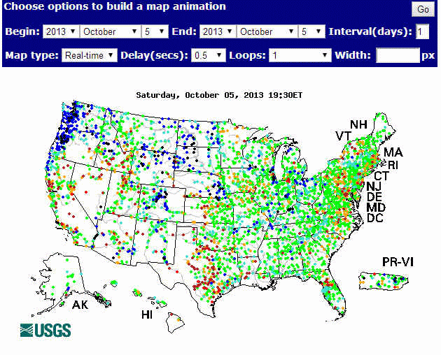
For those interested in actually viewing time sequences of the regional and sub-continental hydrology mapping of what happens AFTER a storm, I highly recommend this page:
http://waterwatch.usgs.gov/index/php?id=wwmaps
Site visitors have options to view animations of streamflow changes across the US on a daily record basis, covering a period from 1999 to the present day.
I am posting a few screen shots of a flood ‘wave’ following a storm track.