
Description
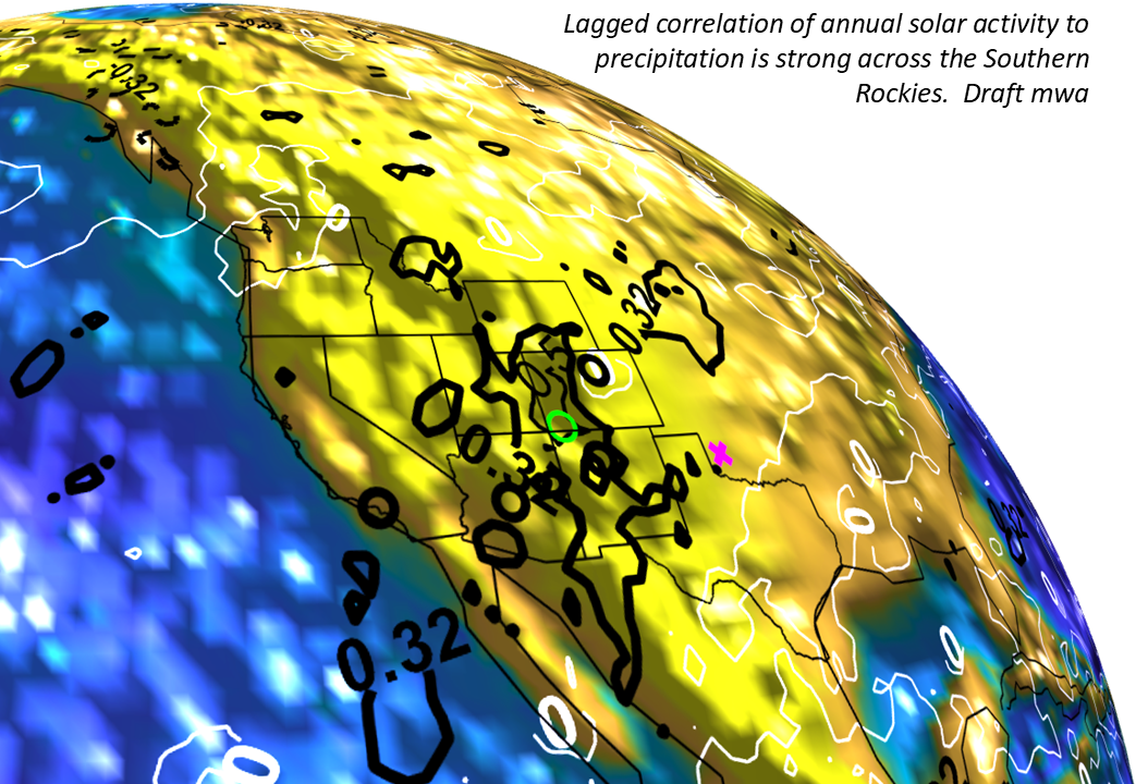
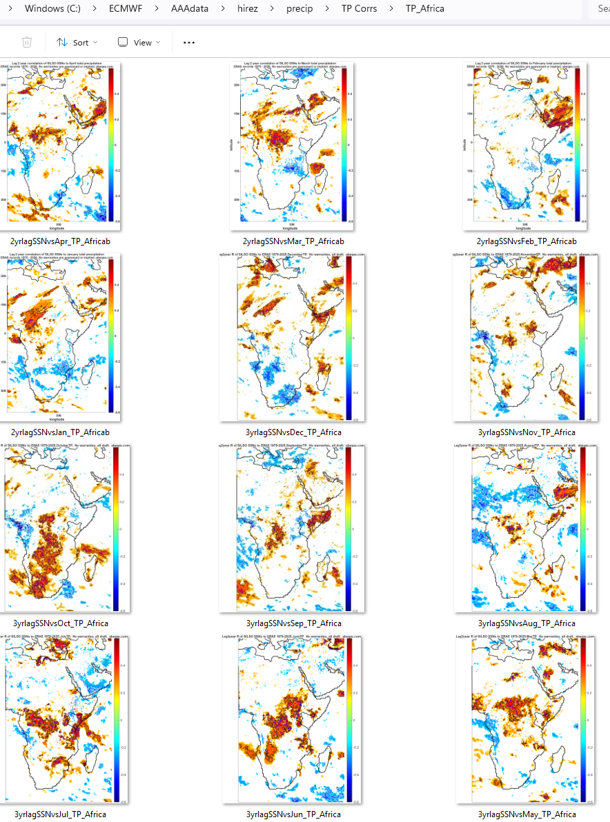
We are constantly evaluating climate variables through solar correlation mapping over different scales of time and space. In the process, we generate large map file sets that are self-organized by the name and deliberately organized by location in a folder structure. The product is simply a large folder structure of files primarily in the .png format covering the US, the globe and sometimes other subregions of interest.
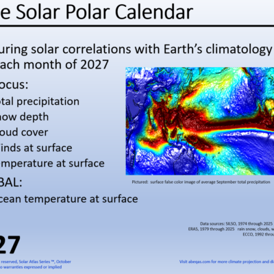
Currently the Atlas covers a range of correlation and related maps that sometimes include global coverages for moisture, including snow indices, temperature, winds, cloud cover, geopotential height, and more. Consider this atlas like a grab bag of stamps that collectors sometimes buy. You never know what relationships might show up of interest. These files also include the complete set of images informing our Solar Polar Calendar for 2027. Upon purchase, the new atlas owner will receive a DropBox invitation to download the folder set.